Price: $350.00
SKU: 2854
PUBLISHER: Published by H. C. Carey & I. Lea, Philadelphia.
MEDIUM: Copper engraving, hand colored,
DATE: 1822 (1823).
EDITION SIZE: 16 1/2 x 20 3/8" (420 x 520mm) including text.
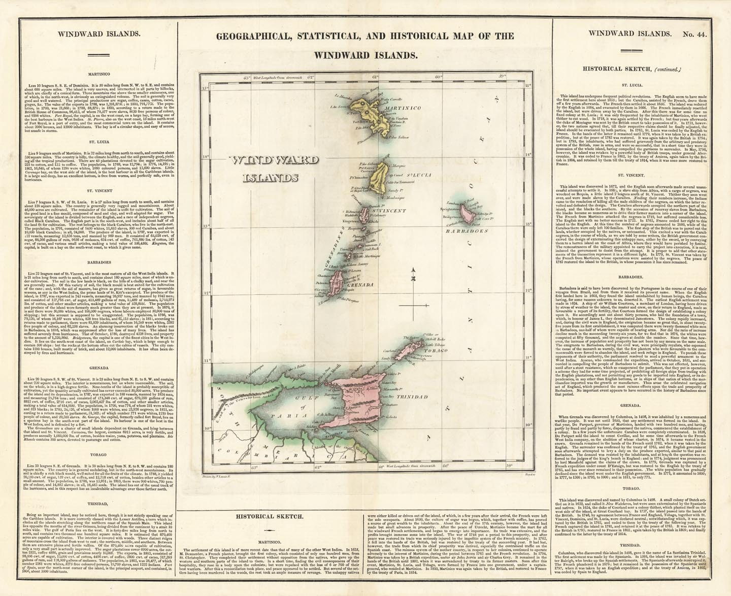
DESCRIPTION: This map, "Geographical, Statistical, and Historical Map of the Windward Islands", 1822 (published 1823), by F. Lucas Jr. From A Complete Historical, Chronological, and Geographical American Atlas by Carey & Lea. This finely detailed map illustrates the Windward Islands—Trinidad, Tobago, St. Vincent, Grenada, Barbadoes, St. Lucia, and Martinico (modern-day Martinique)—as they appeared in the early 19th century. Drawn by F. Lucas Jr., it is accompanied by rich descriptive text offering a “historical sketch” and insights into the region’s commerce, education, religion, government, and geography, including climate, rivers, minerals, and boundaries. Published in the aftermath of the Napoleonic Wars, this map captures a moment when British colonial dominance in the Caribbean was firmly established. These islands, valuable for their sugar industry and strategic locations, were centers of trade, naval power, and shifting colonial governance. The atlas from which this map comes was a landmark American publication that sought to educate readers on the political and physical geography of the Americas and adjacent territories.
ADDITIONAL INFO: This piece is in a 18.75 x 24 inch archival mylar for handling.
CONDITION: Good condition with original wash color.
REFERENCE:



 Login / Register
 Basket