Price: $150.00
SKU: 30848
ARTIST: Gio. Tommaso Masi
MEDIUM: Copper plate engraving,
DATE: 1763
EDITION SIZE: Paper Size 9 x 7 1/4" (229 x 185 mm) plus margins.
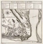
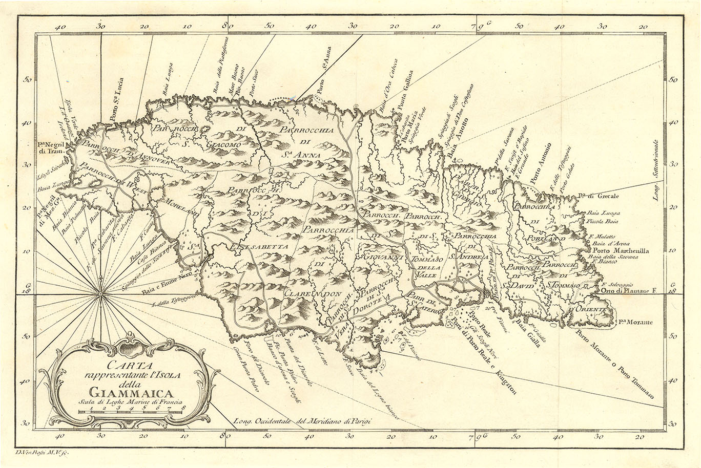
DESCRIPTION: This map, "Carta Esatta Rappresentante L'Isola di Granata" by Gio. Tommaso Masi, 1763, is a rare and beautifully engraved Italian map of the island of Grenada. Published during a time of fierce colonial competition in the Caribbean, this map offers a detailed view of the island shortly after it passed from French to British control following the Treaty of Paris in 1763. Masi’s work captures the growing European interest in the region’s valuable sugar-producing islands. The map outlines Grenada’s mountainous terrain, bays, rivers, and coastal features with precision, reflecting both geographical knowledge and artistic craftsmanship. Towns, plantations, and fortifications are marked, giving insight into the island's early colonial development. A fine example of 18th-century Italian cartography, this map is both historically significant and visually appealing—ideal for collectors of early Caribbean history.
ADDITIONAL INFO: This piece is in a 11.25 x 14.25 inch archival mylar for handling.
CONDITION: Good condition.
REFERENCE:


 Login / Register
 Basket
.")