Price: $7,950.00
SKU: 31347
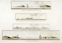
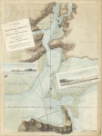
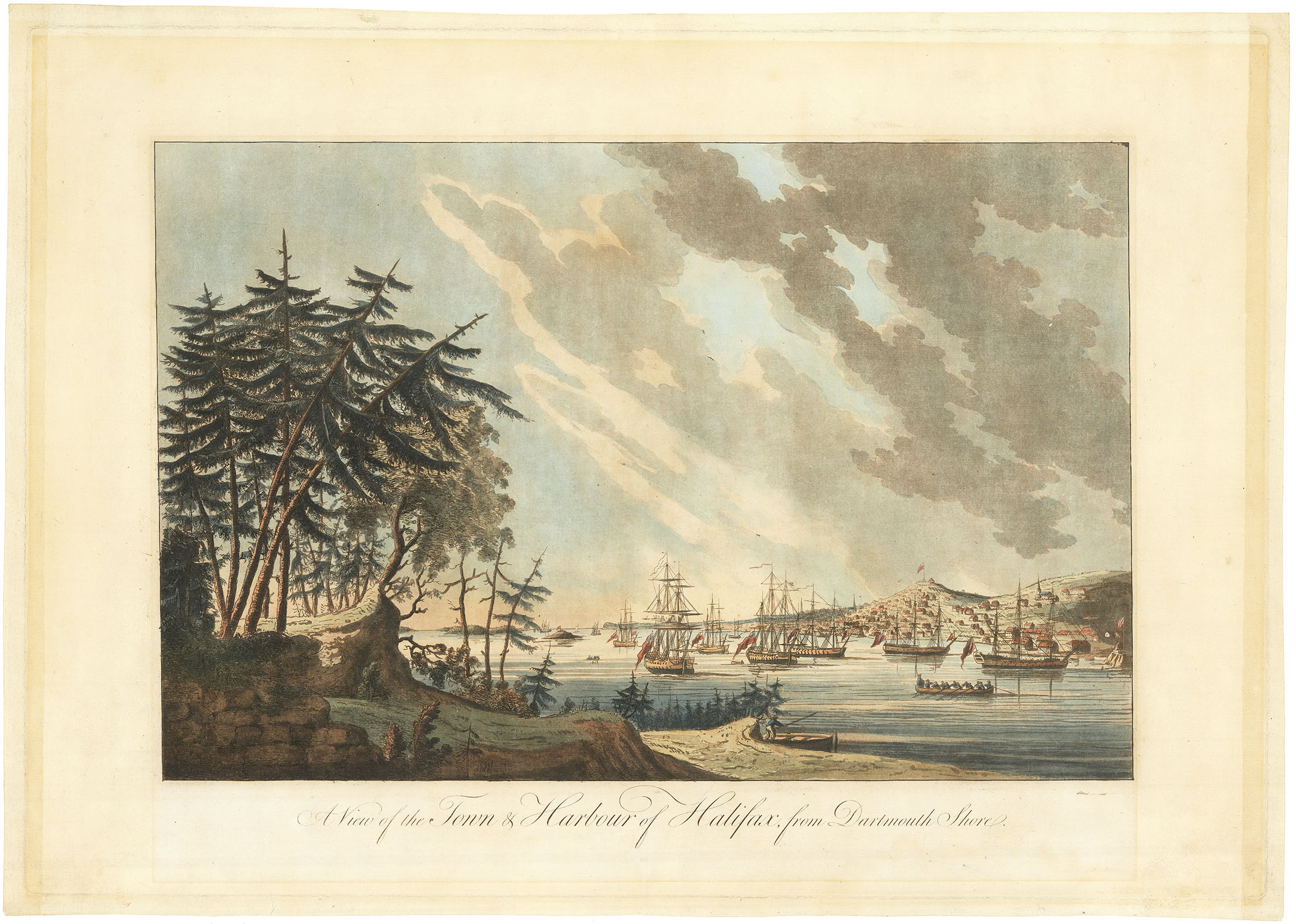
ARTIST: J. F. W. Des Barres
PUBLISHER: Published according to act, April 29th 1776 by J. F. W. Des Barres, Esqr.
MEDIUM: Line engraving,
DATE: 1776
EDITION SIZE: Image size 29 x 41 5/8" (73.5 x 106 cm) plus margins.
DESCRIPTION: This fine chart is from "the Atlantic Neptune" by Captain Joseph Frederick Wallet Des Barres. The "Atlantic Neptune" is one of the finest large scale sea atlases of the U.S. and Canadian Atlantic coast line ever produced. The maps in the atlas were produced over six year period (1775-81), and are well known for their accurate portrayal of various sounds, bays, bars, and harbors as well as navigational hazards. This atlas was used extensively by the Royal Navy during the American Revolution. Covers an area from Wellfleet-Provincetown on Cape Cod and Plymouth on the mainland northwards to Cape Ann.
ADDITIONAL INFO:
CONDITION: Good condition. Black & white
REFERENCE:


 Login / Register
 Basket