Price: $225.00
SKU: 3211
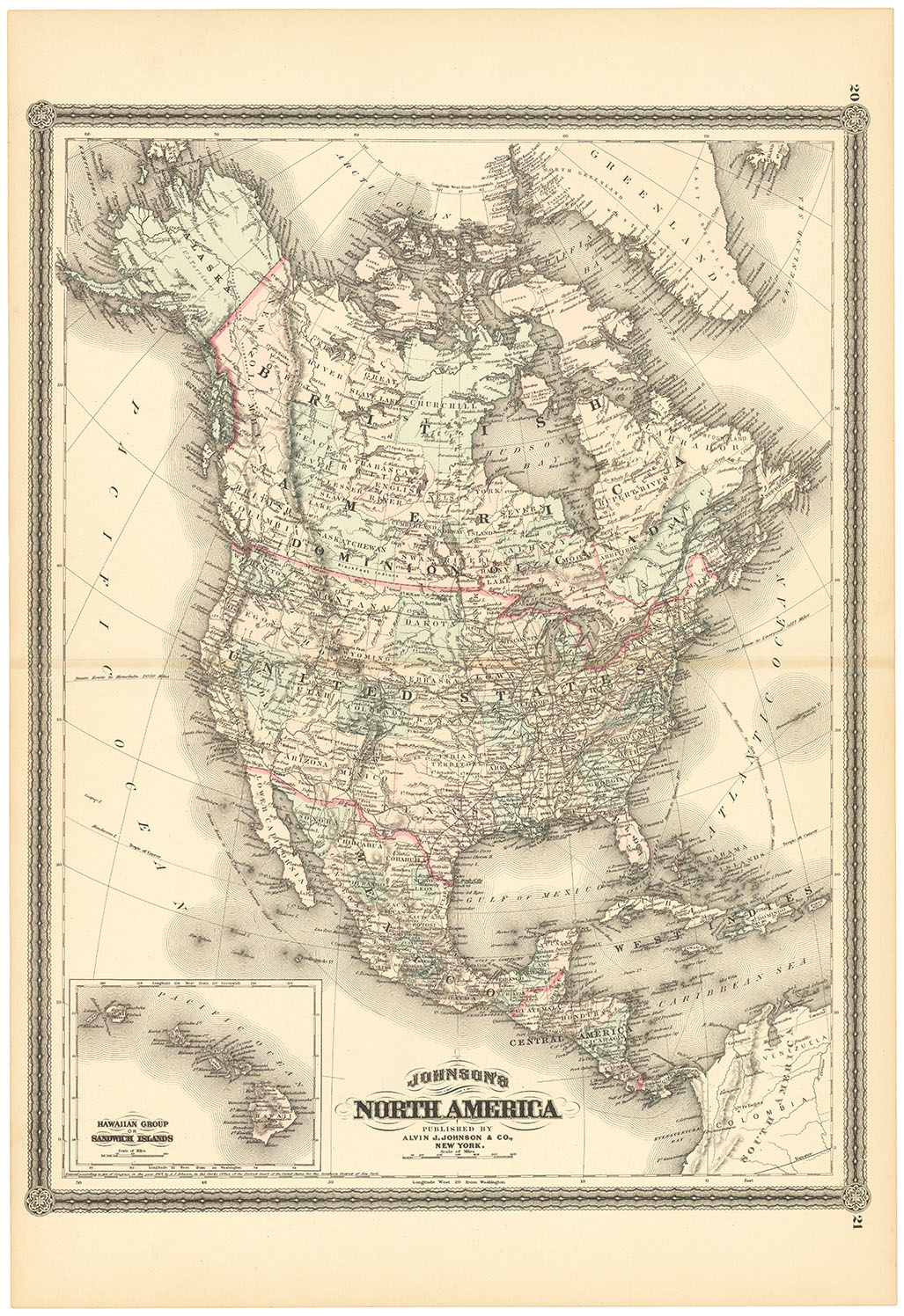
ARTIST: A. Johnson
PUBLISHER: Published by A. J. Johnson, New York.
MEDIUM: Handcolored engraving,
DATE: 1862
EDITION SIZE: 17 3/4 x 26 1/2" (45.2 x 67.4 cm) plus narrow margins.
DESCRIPTION: The title continues with "Showing also the interesting localities along the James, Chickahominy and York Rivers. Compiled from the official maps of the War Department." This map appeared in Johnson's New Illustrated Family Atlas of the World...." A nice example of this map that is often found damaged.
ADDITIONAL INFO:
CONDITION: Good condition and color.
REFERENCE:


 Login / Register
 Basket