Price: $95.00
SKU: 34389
PUBLISHER: Published by Rand, McNally & Co.
MEDIUM: Multi-color wax lithograph.
DATE: 1910
EDITION SIZE: Image size 19 x 12 9/16" (48.3 x 32 cm) plus margins.
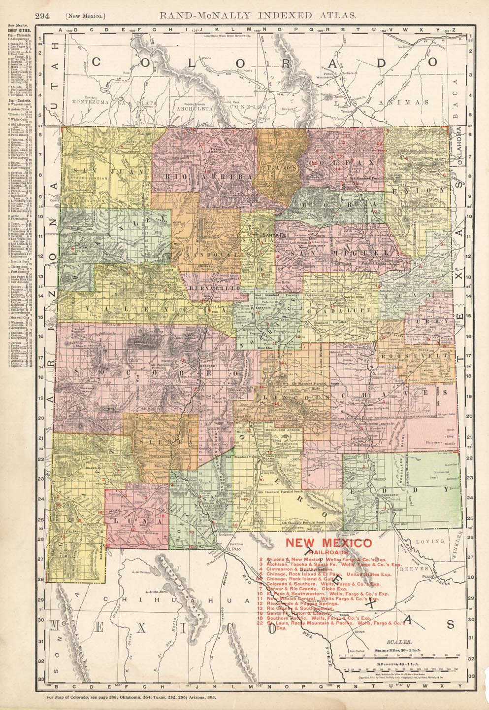
DESCRIPTION: A detailed map from the “Rand McNally Indexed Atlas”. Depicted are counties, railroads, railway stations, township lines, mountains, rivers, lakes, and other details. Index of chief cities in left margin, and full index of cities and town on reverse. Later overlay of red shows different railroads.
ADDITIONAL INFO:
CONDITION: Good condition and color.
REFERENCE:



 Login / Register
 Basket